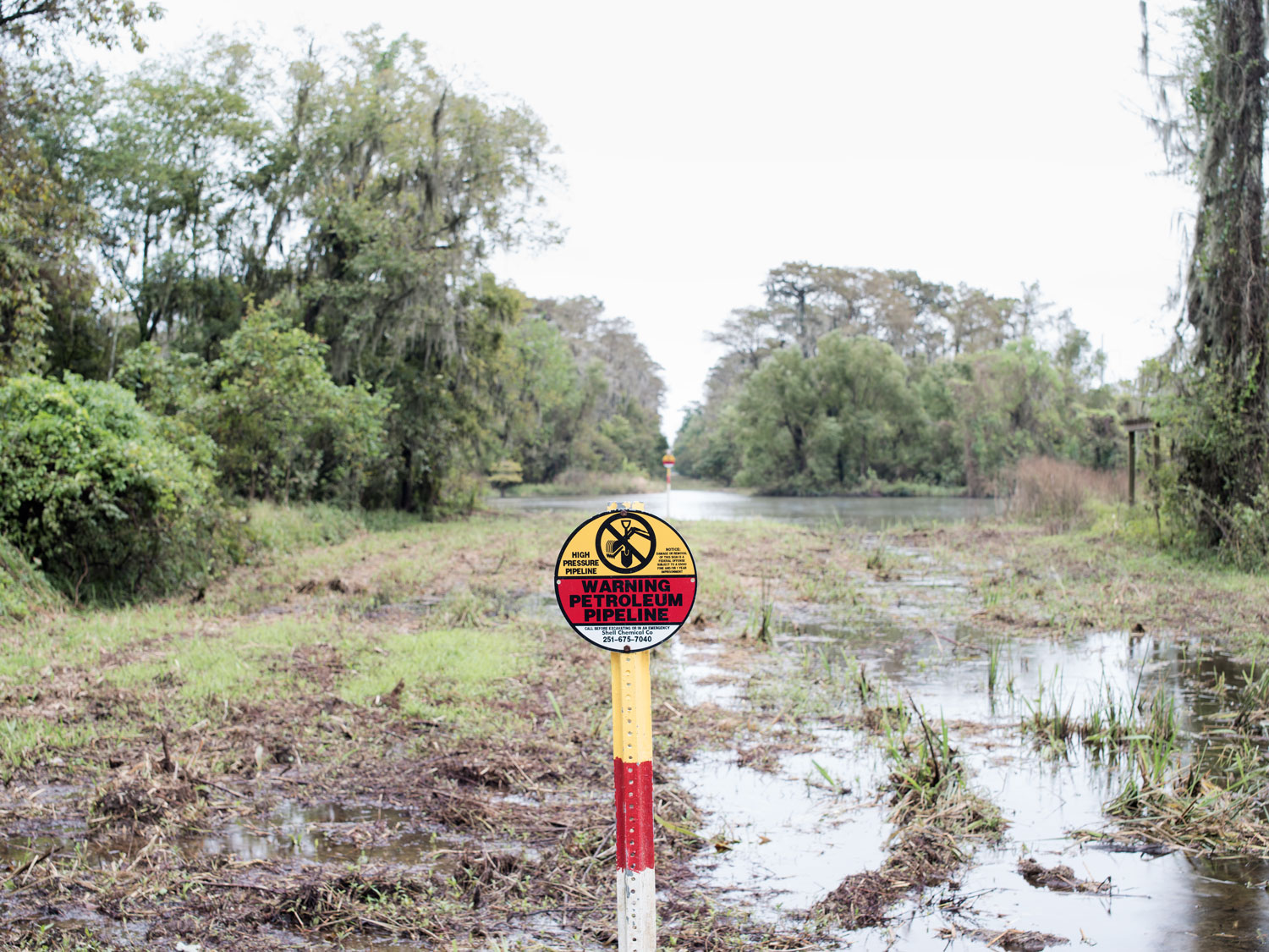
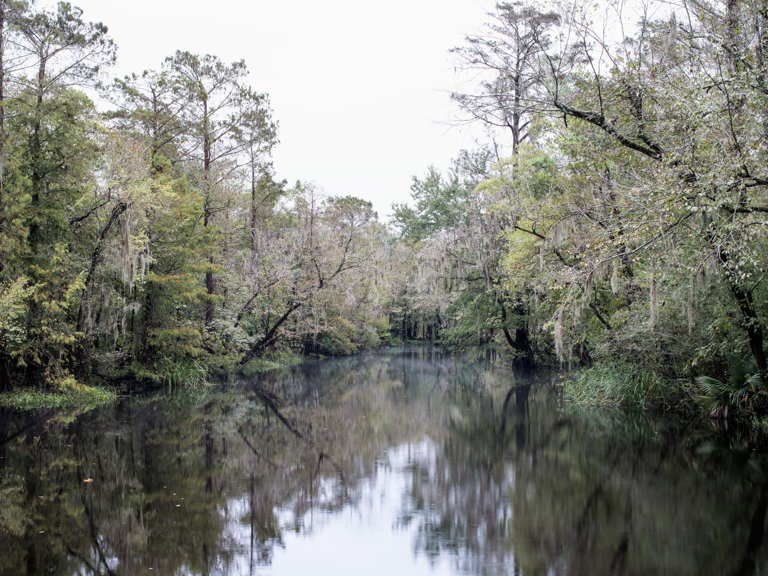
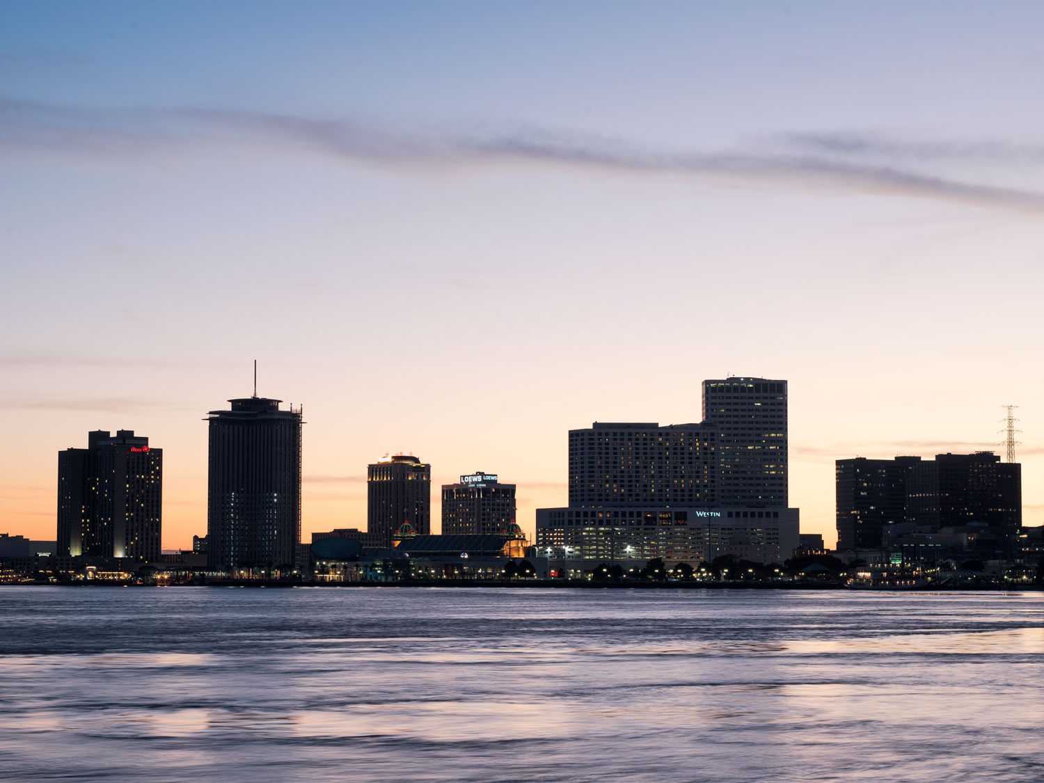
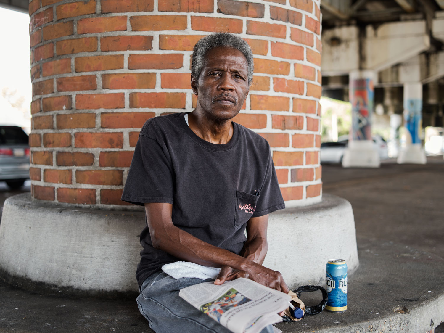
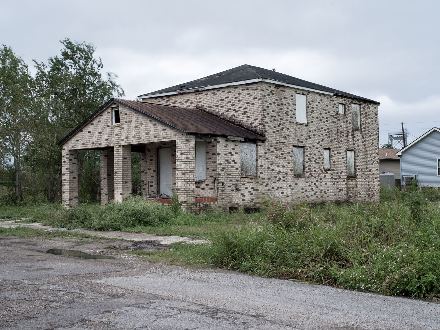
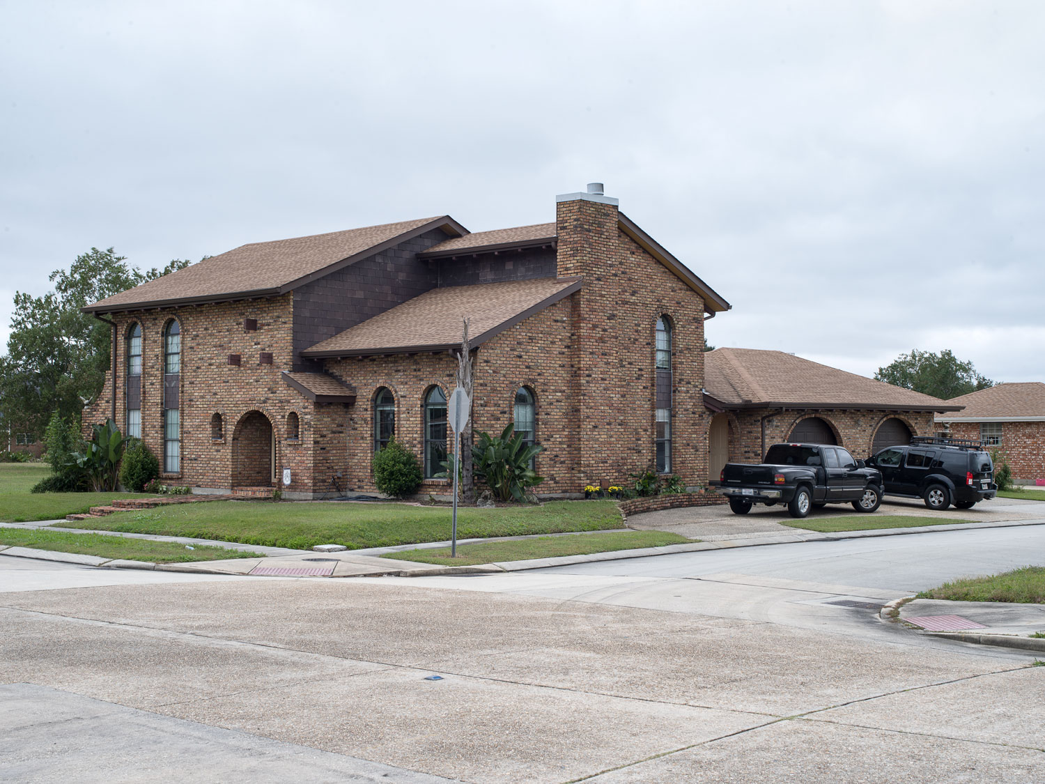
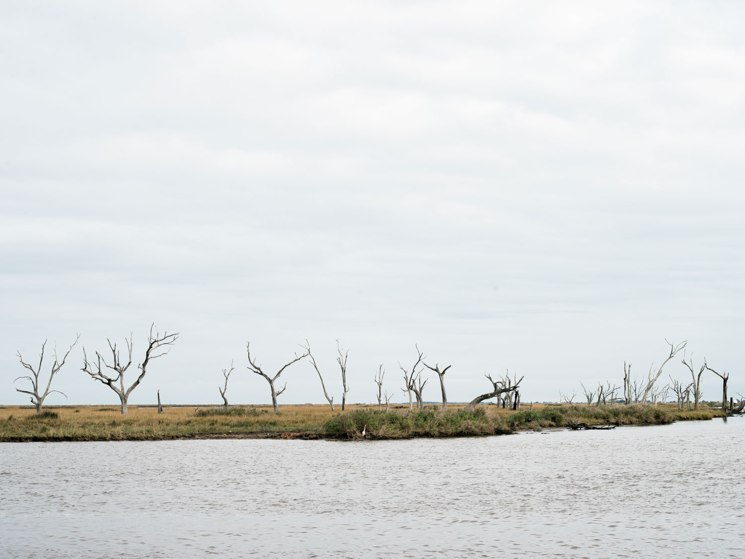
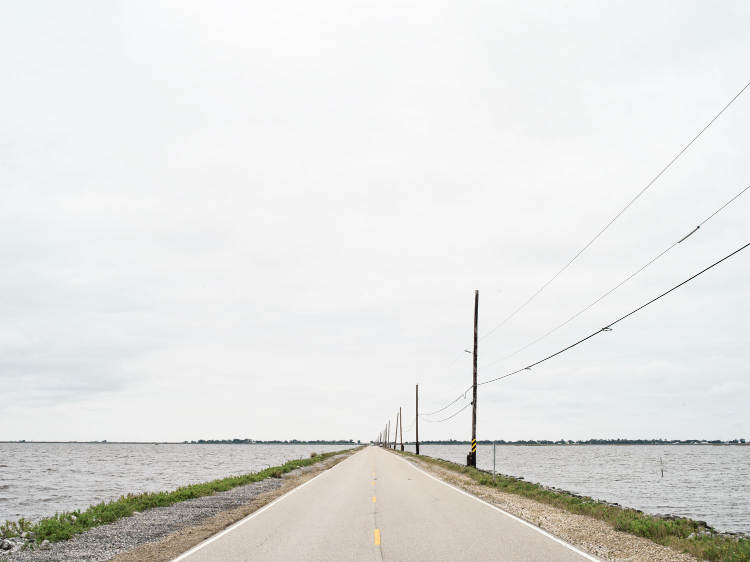
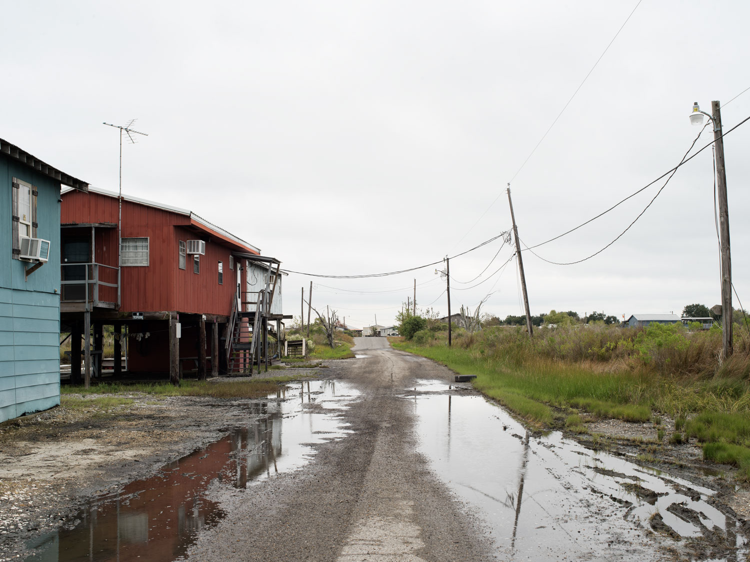
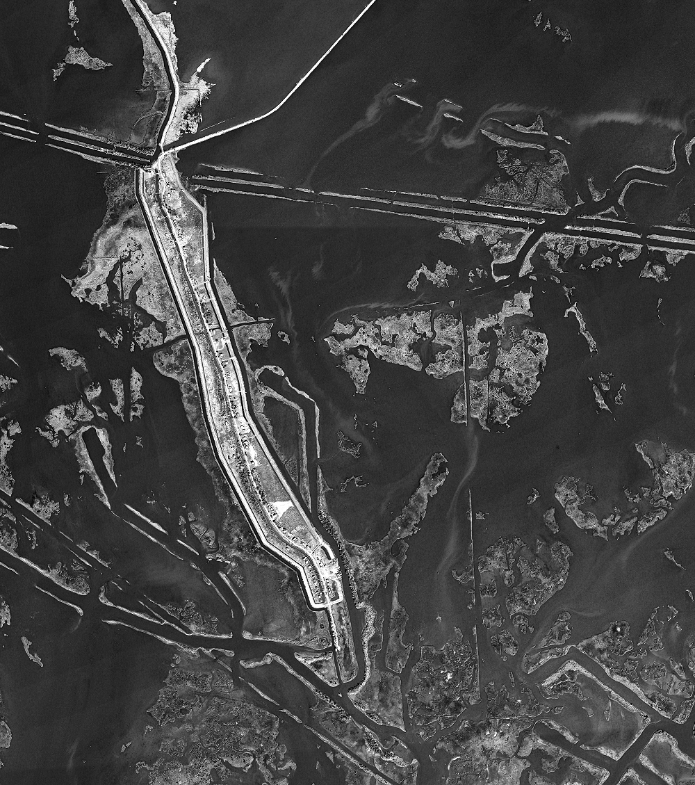
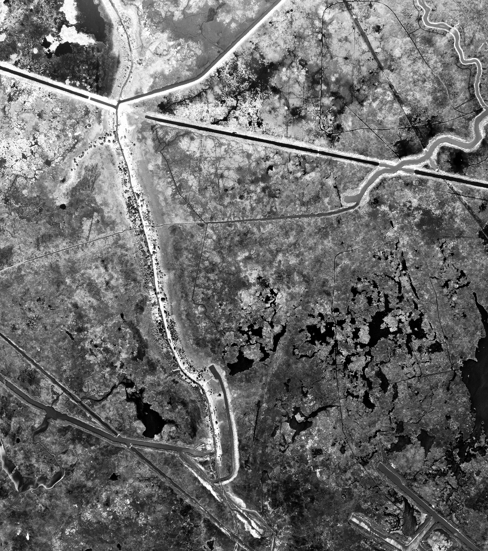
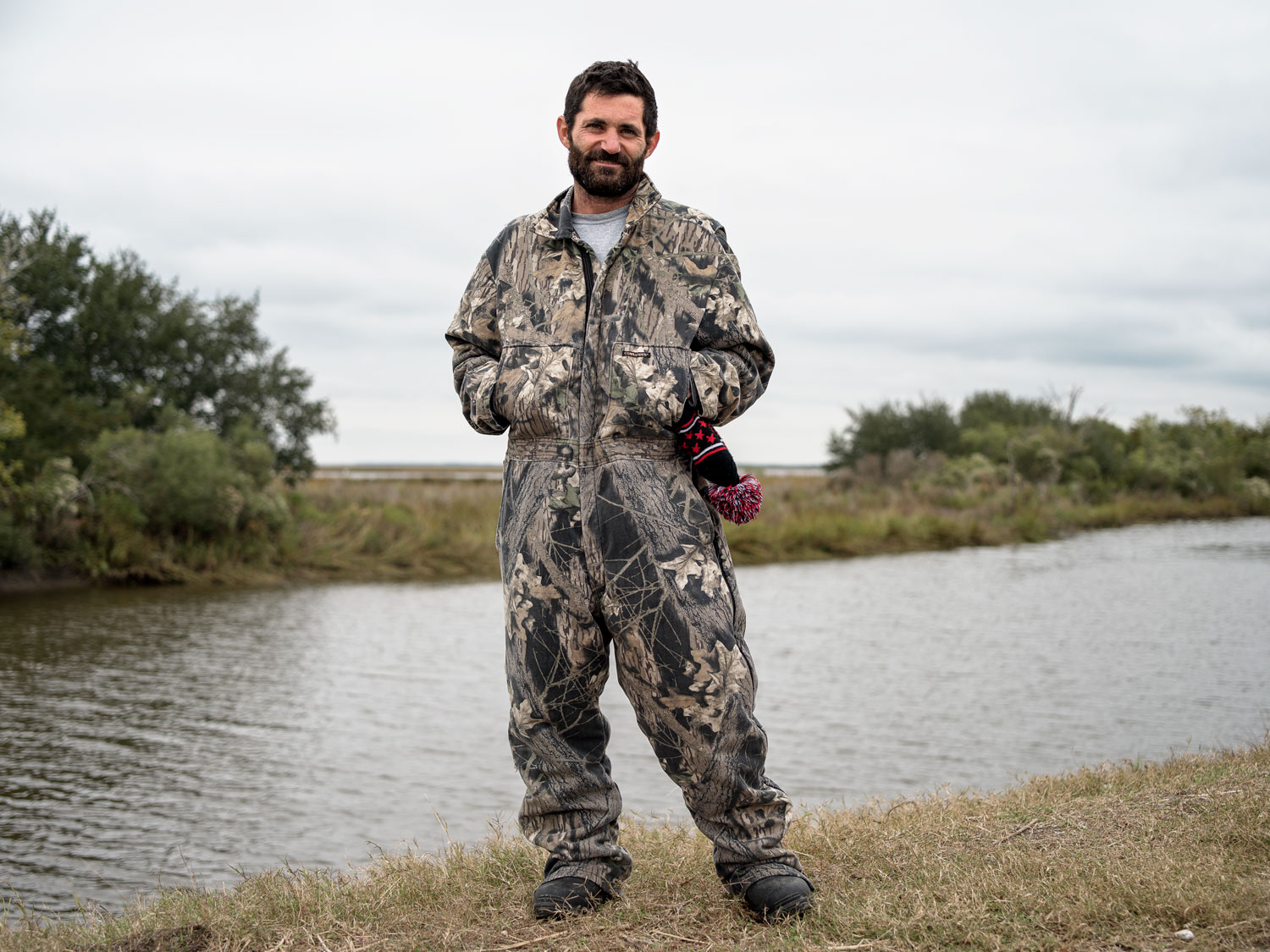
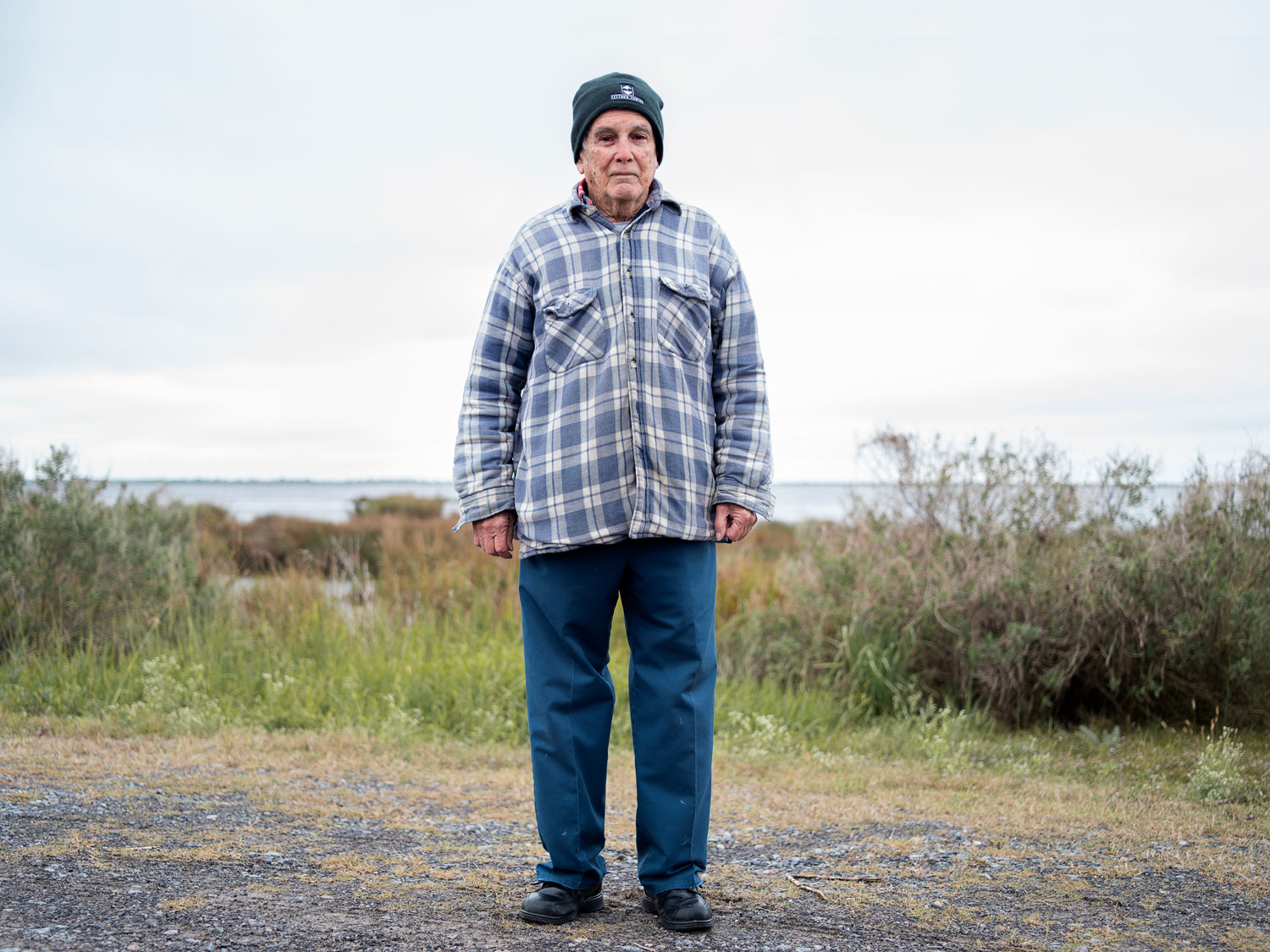
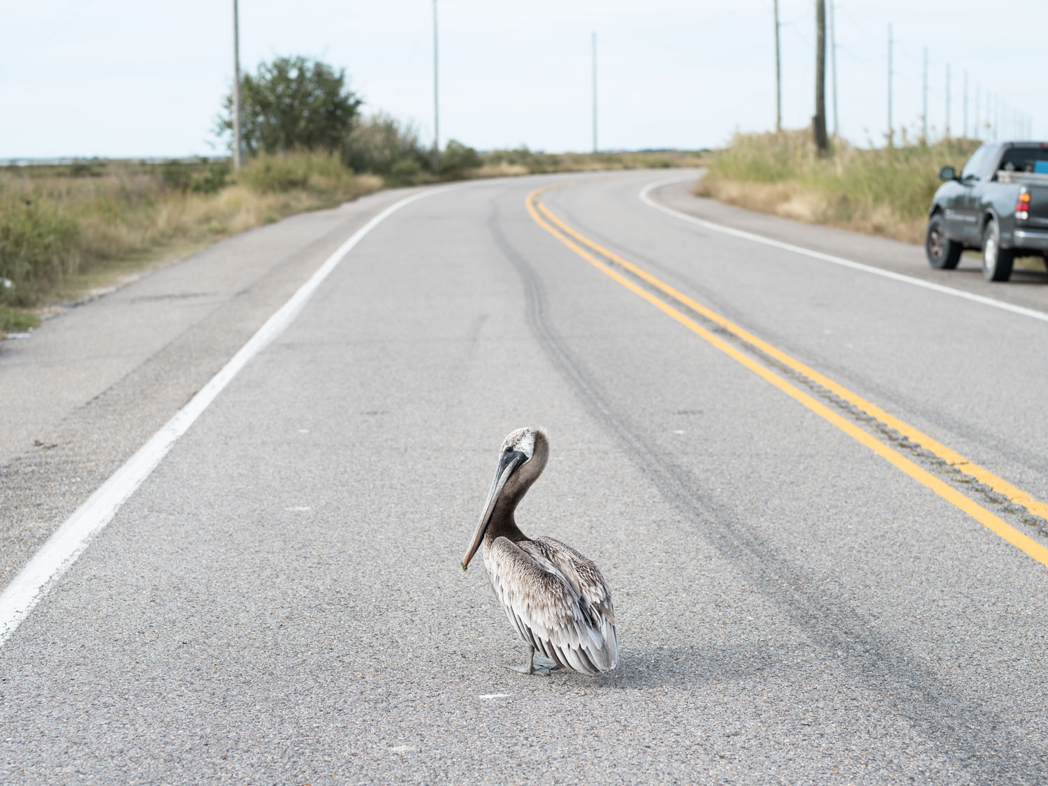
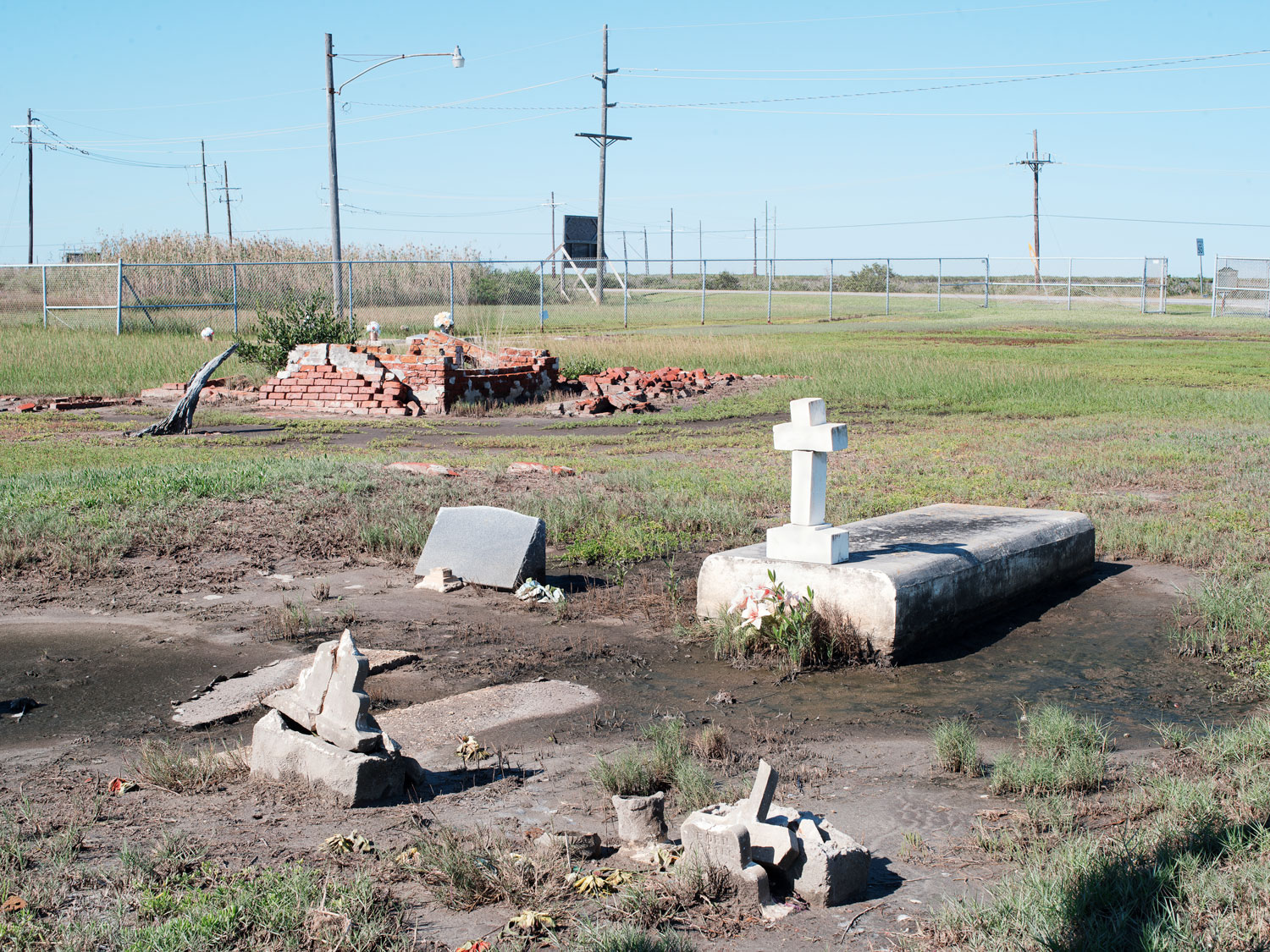
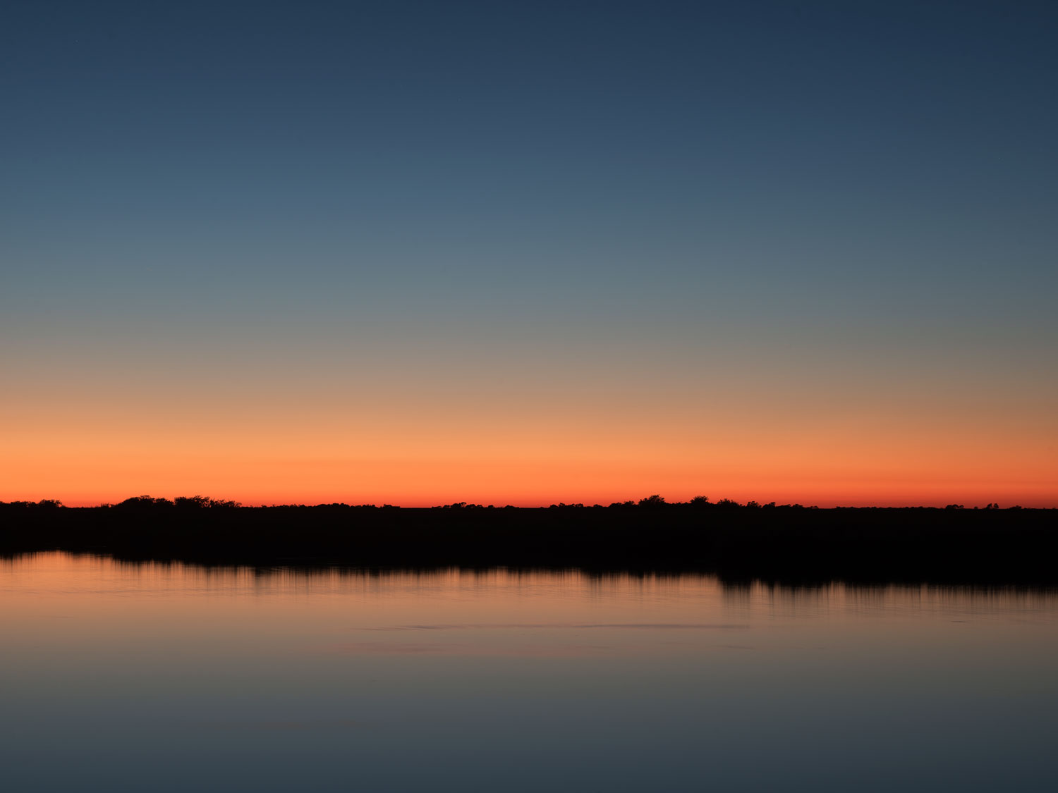
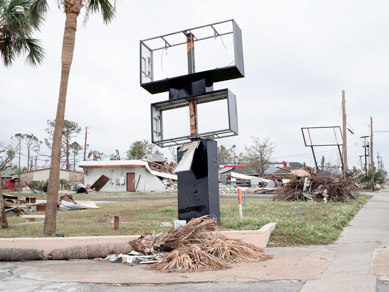
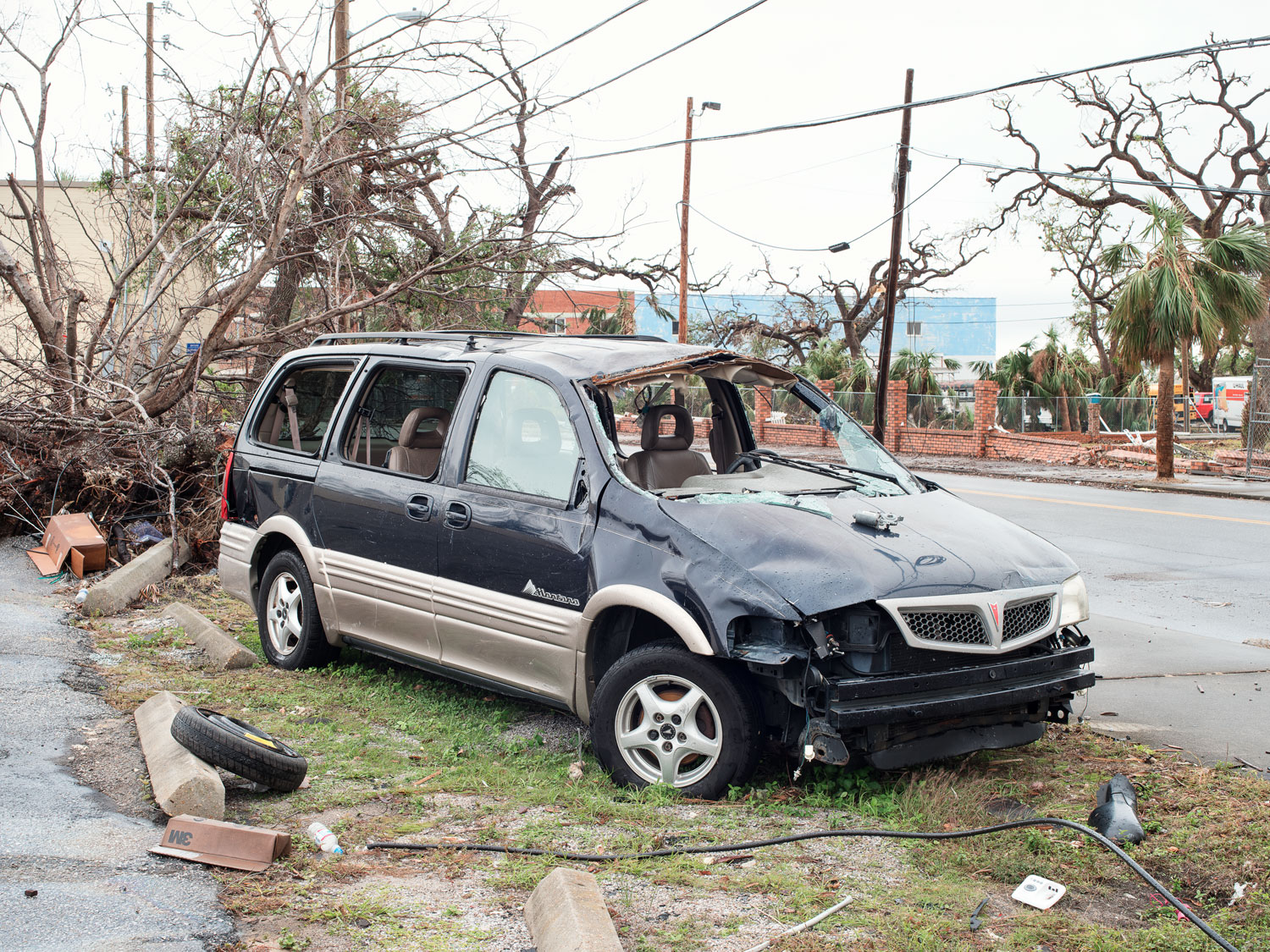
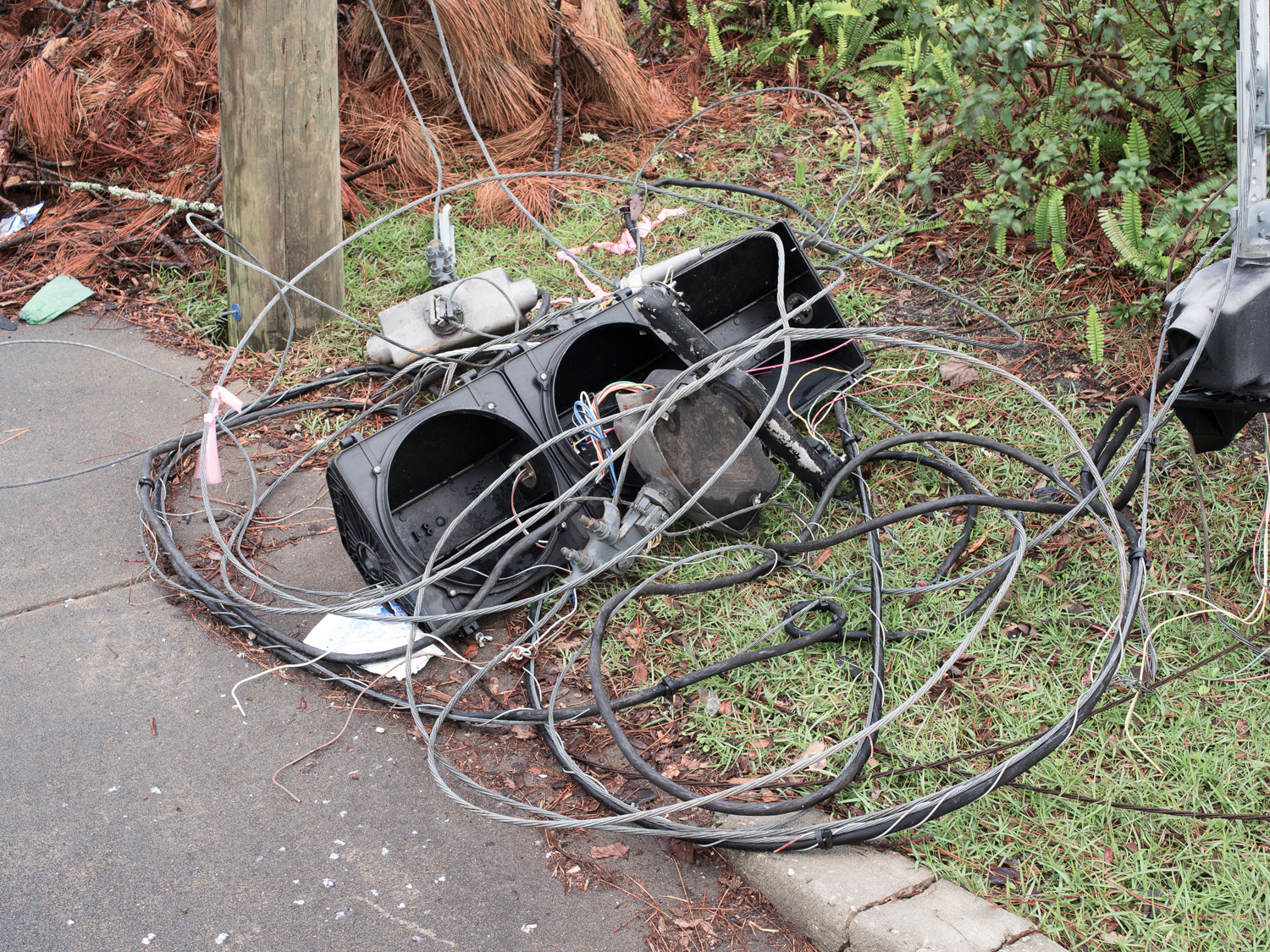
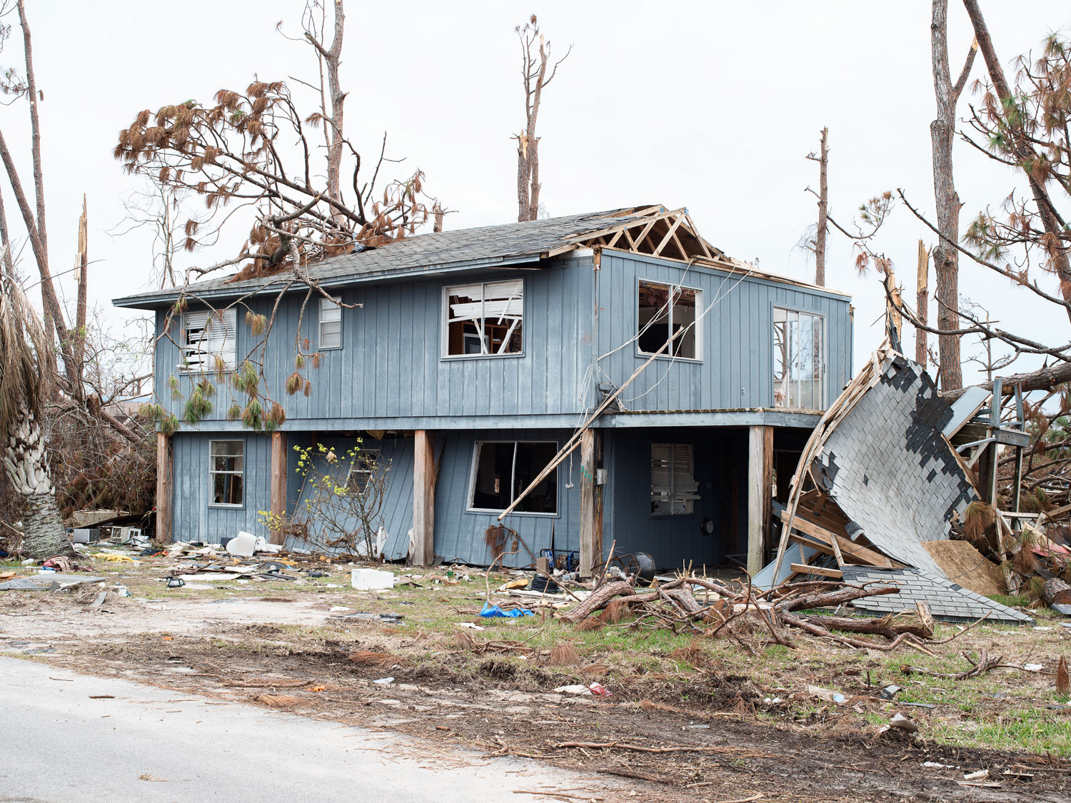
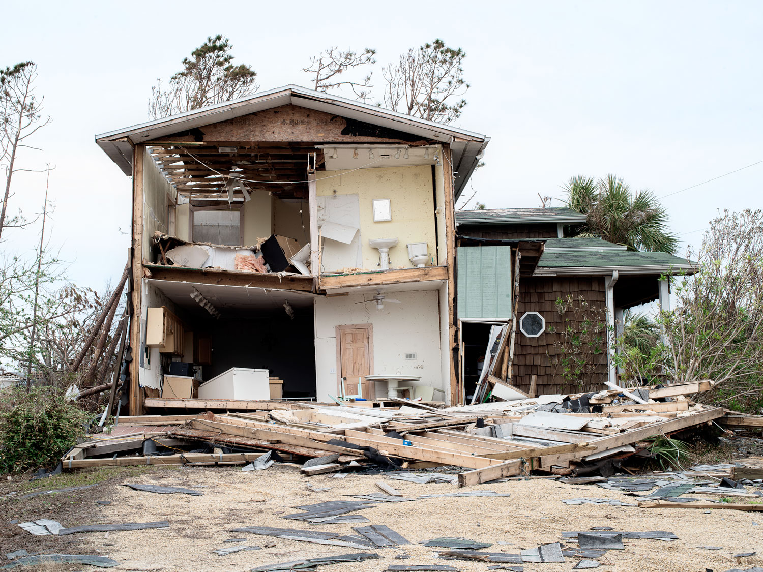
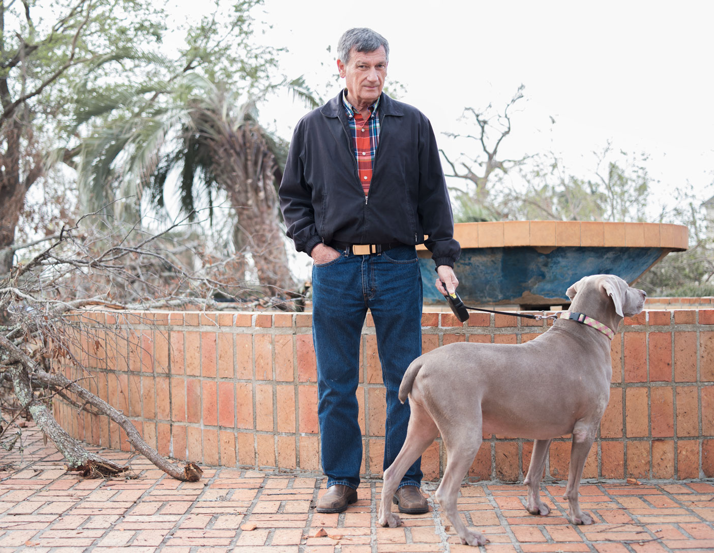
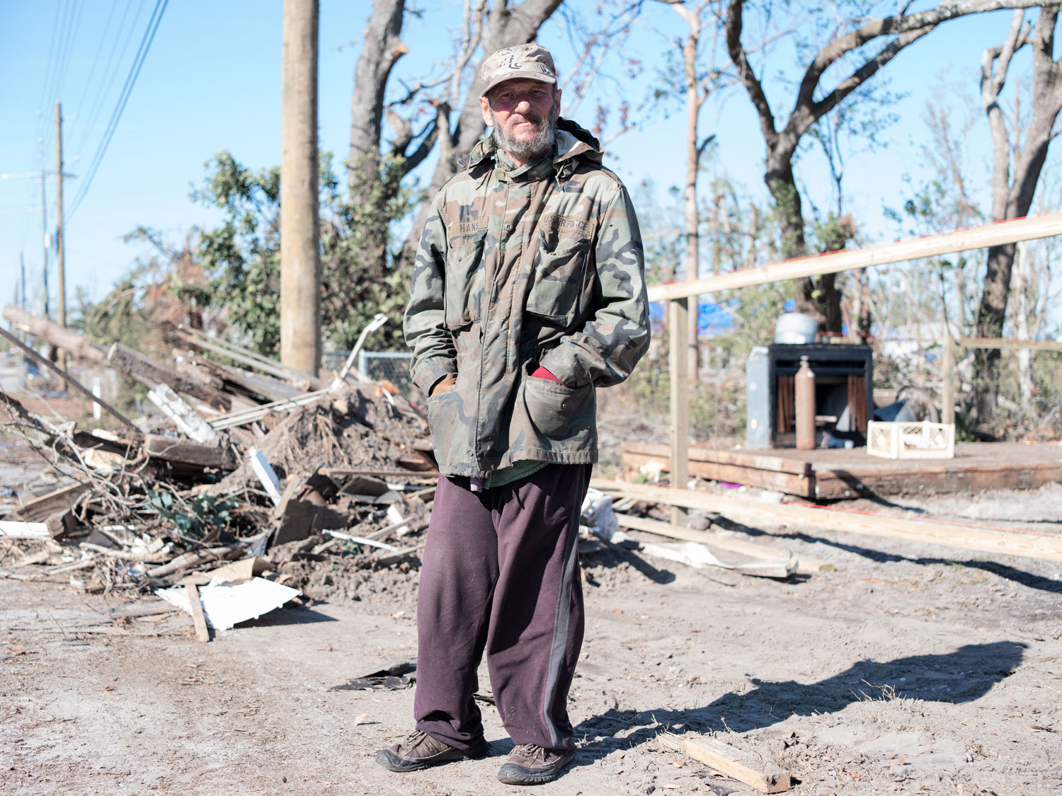
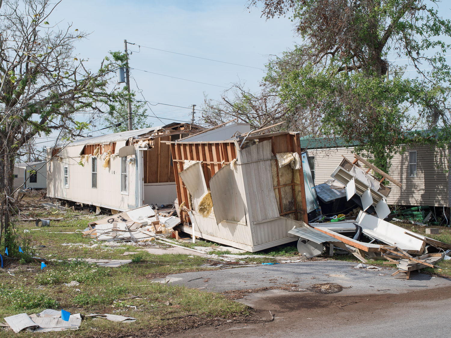
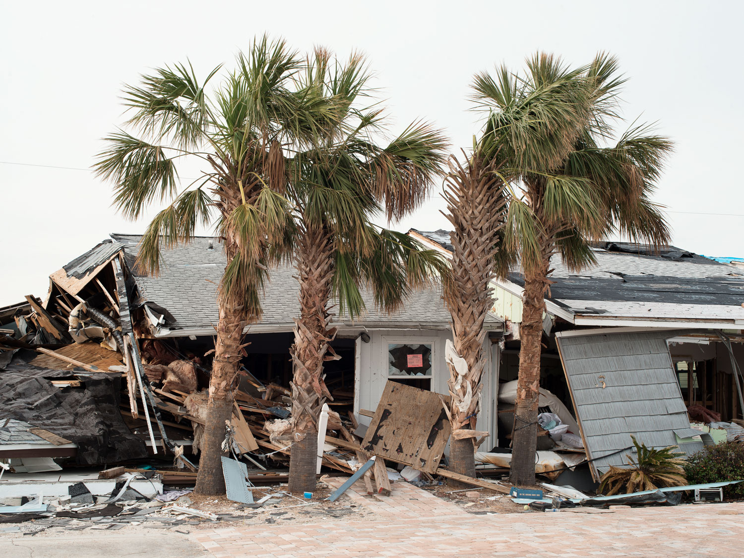
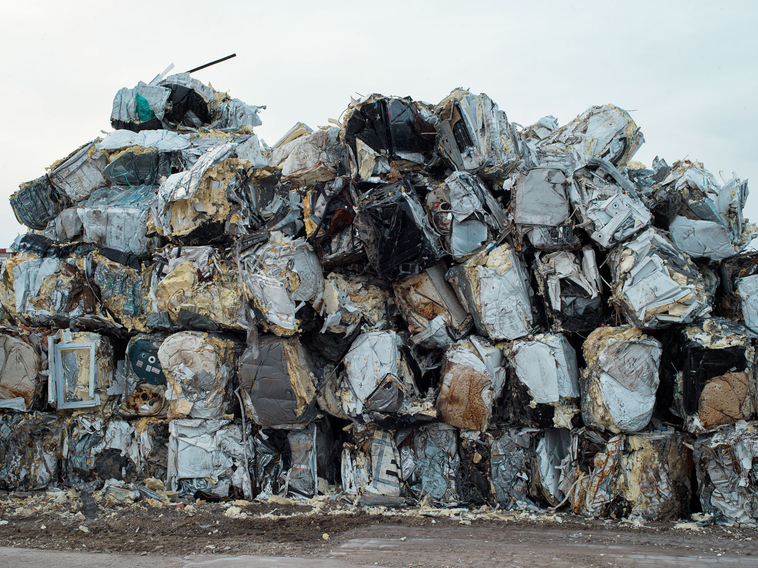
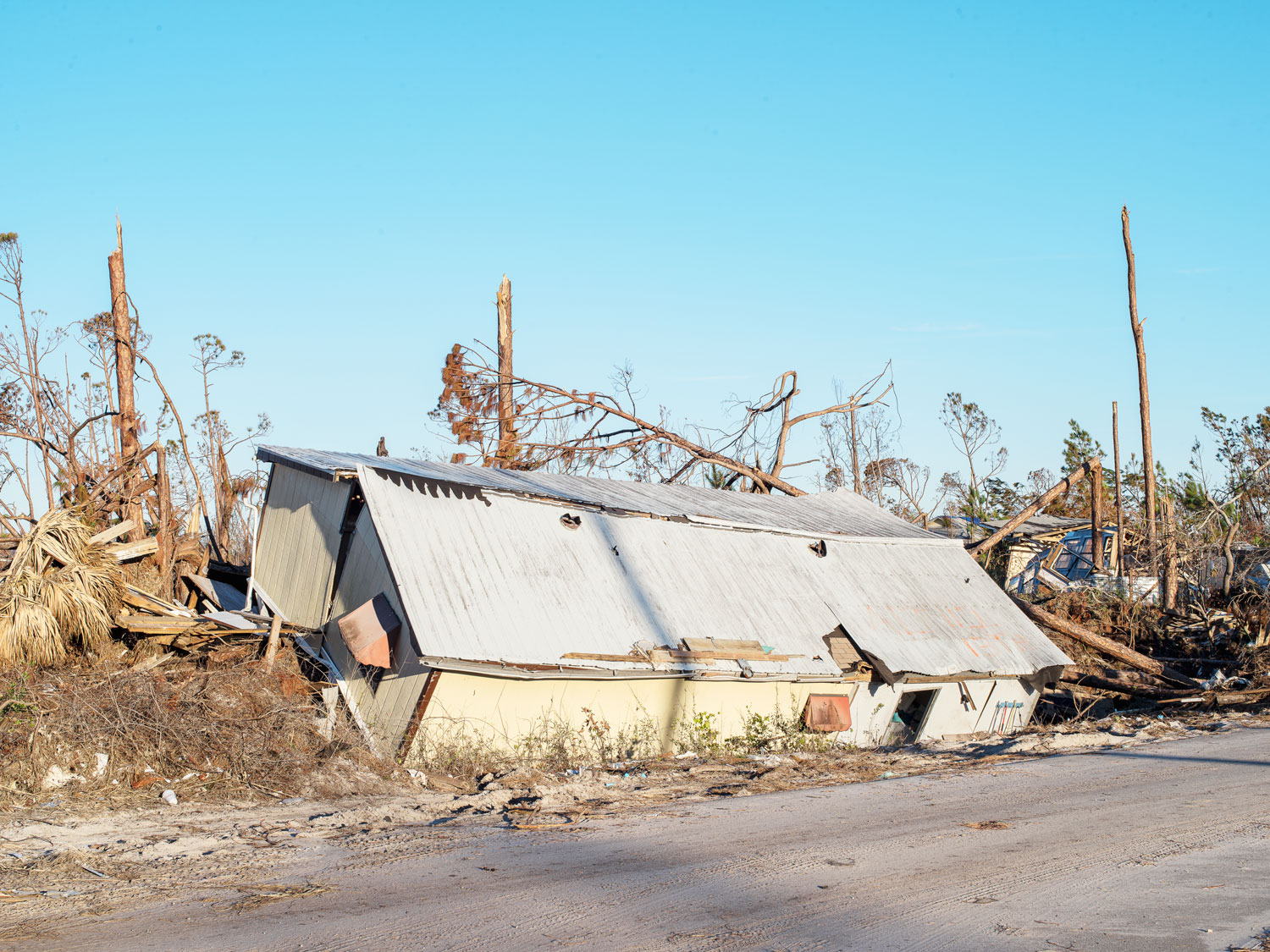
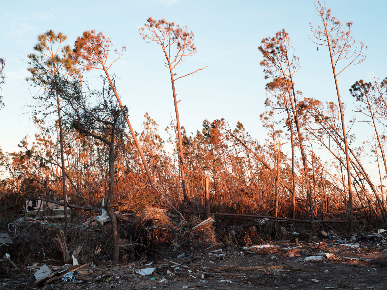
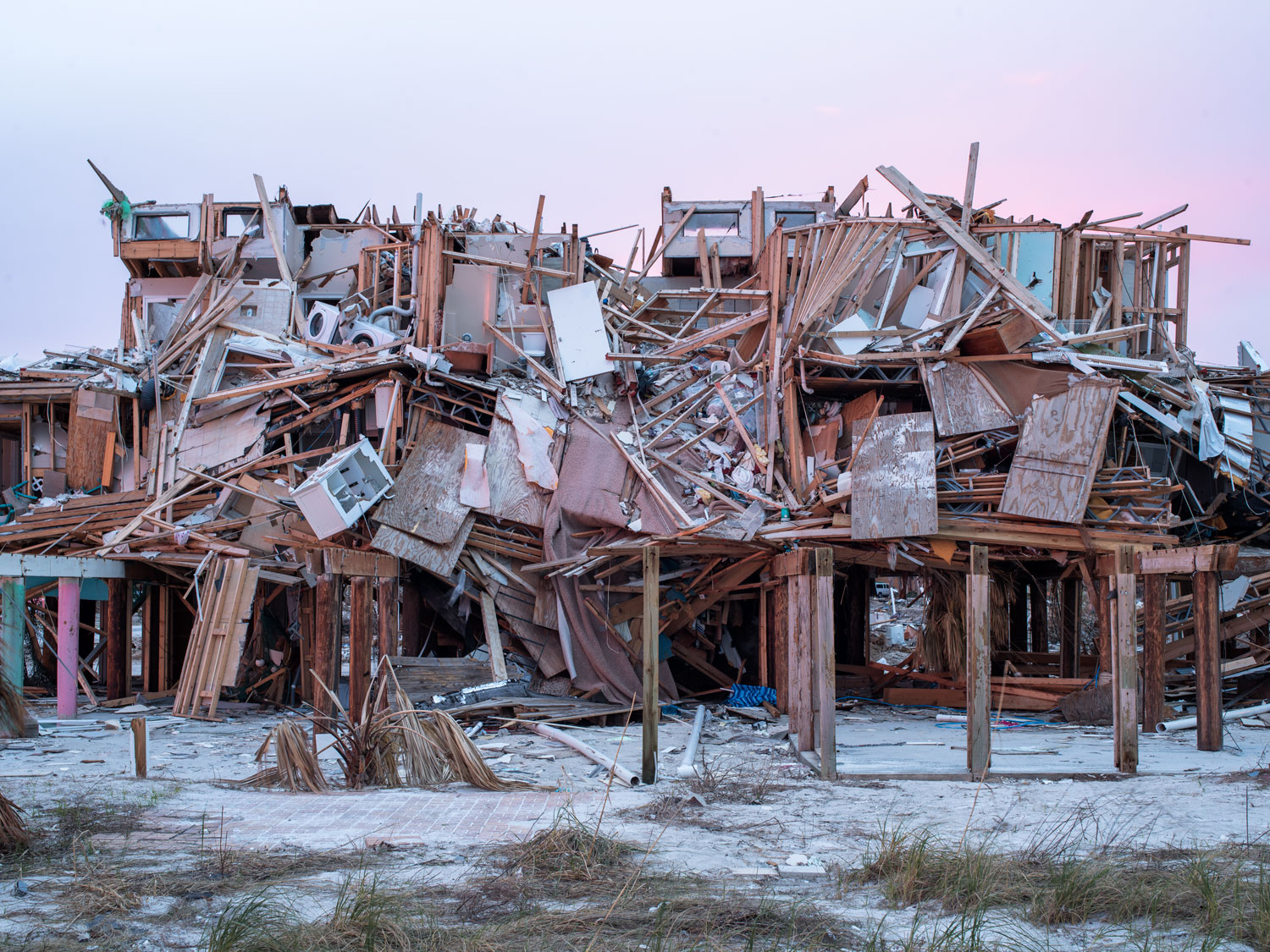
2.05 LOUISIANA & FLORIDA: Sacrifice zones
Until recently the USA was the world’s greatest historic emitter, having left the Paris agreement in 2017 the nation is significantly increasing its own vulnerability to climate change by failing to prepare for an uncertain future. Learn how parts of Louisiana and Florida are becoming sacrifice zones where the onslaught of climate intensified hurricanes and the extraction of fossil fuels are displacing communities.